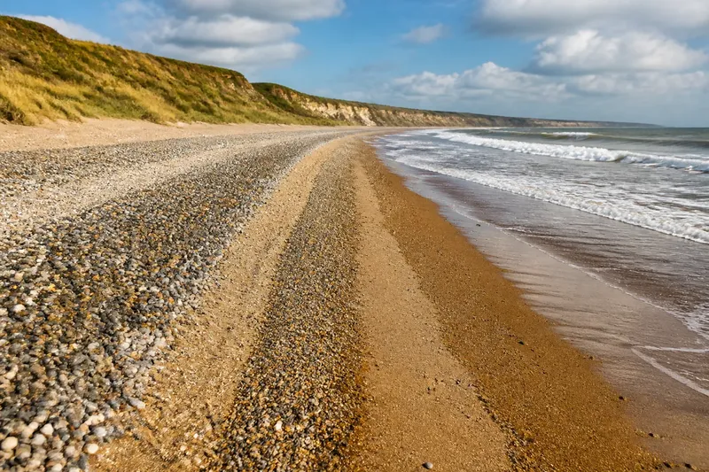
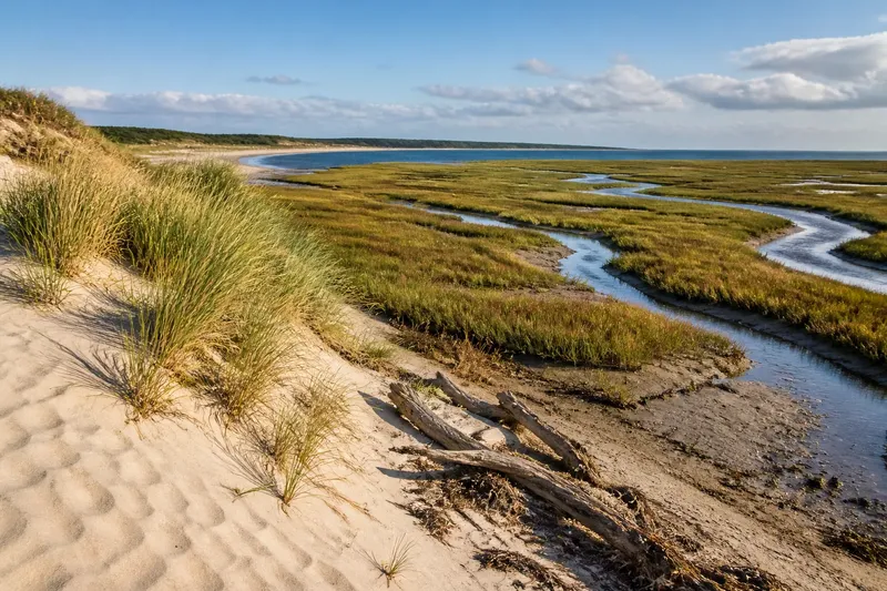
A Shoreline Sketchbook for a Grey Afternoon
A shoreline sketchbook turns a grey beach walk into clear notes on shore shape, water and surface patterns, without disturbing coastal habitats.
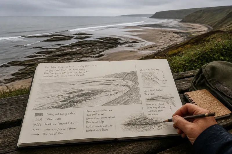
How do you make a shoreline sketchbook useful when grey cloud flattens the beach and its colours are hard to read? Begin with the shape of the shore, then record where water and visible materials meet; a few clear lines and careful words will preserve more than a page of uncertain detail.
Choose a viewpoint with a clear view of the shore
Find a firm, permitted place where you can see some water, the shore surface and the land behind it. A bench, promenade or marked viewpoint may work well. Keep away from cliff edges, unstable slopes, breaking waves and closed areas, and do not block a path while you draw.
At the top of the page, note the place, time, broad weather and your viewpoint. “Low grey cloud, light wind, drizzle easing” is more useful than trying to describe every change in the sky. Add whether a headland, harbour wall or buildings partly screen the view.
A small notebook and soft pencil are enough. Turn the page so the horizon runs roughly across it, and leave space beside the drawing for notes. In damp weather, pencil is often easier to read than ink that may smudge.
Sketch the shore’s largest forms first
Draw the horizon and the broad outline of the shore: perhaps a shallow curve, steep slope, low platform, bay or narrow channel. Add features that shape the view, such as a headland, rock ledge, spit or ridge. If you cannot identify a feature confidently, draw its outline and describe its position instead of assigning it a name.
Use a few lines to show the shore’s direction and irregular edges. Shade only broad areas, such as a band of wet-looking sand or darker water beneath cloud. The aim is a usable field record, not a finished picture.
Note what stands out in the flat light. You might write “smooth, dull surface with scattered dark flecks” rather than guess at a material or colour. Keep direct observations separate from explanations: “a narrow stream crosses the wet sand” is visible; what carried the sand is an interpretation you may not be able to confirm from one visit.
Record where water and surface materials meet
Trace the visible waterline, pools, runnels and streams. Describe each boundary as straight, scalloped, broken by rock or partly hidden. Treat it as a record of what you see at that visit, not as a permanent edge.
Mark changes in surface without touching or collecting anything. A simple key can make the sketch easier to read: dots for visible pebbles, short strokes for a wrack line, and a shaded band for a darker surface. If you cannot tell what a patch contains, describe its appearance—“dark, fine-looking surface”—and leave its identity open.
For each feature, note its position relative to another: a pool below a ledge, a stream beside a ridge, or driftwood above a darker band. These relationships often remain legible even when the light makes colour uncertain.
Use these shoreline sketchbook questions to guide your notes?
What should I write down before drawing?
Record the place, time, broad weather and viewpoint first. These details give the sketch context and help you compare it with a later visit without implying that the shore stayed unchanged.
How can I describe colour in flat light?
Use relative terms such as pale, dark, reflective or matte, and add texture words such as smooth or coarse-looking. If a shade is uncertain, describe the contrast rather than guessing a precise colour.
What should I do if I cannot name a landform?
Draw its outline and note where it sits in relation to nearby features. Leave the technical name blank until you have a clearer view or reliable local information.
Can I sketch the shore from a distance?
Yes: a distant view can show the broad shape of the coast and the arrangement of surface bands. Leave out details you cannot see clearly rather than moving closer to water, unstable ground or a restricted area.
Add a close detail without disturbing the shore
From a firm, permitted spot, choose a feature you can see clearly, such as a rock surface, wrack patch, shallow runnel or boundary between dry- and wet-looking ground. Draw it as a small inset beside the wider view. Add a few words about its shape, texture and position.
Say you are sketching from a public path above a cove. Your starting observations are a pale rock shelf and a dark strip below it; the material beneath the strip is unclear. Draw both, note that the strip follows the shelf’s lower edge, and leave the substrate unidentified. The resulting page records the visible relationship without disturbing the area or claiming more than you know.
Do not lift stones, pull at seaweed or move driftwood to improve the view. Record where things lie and leave the habitat and traces of water movement undisturbed.
Check the page before you leave
Use these checks to decide whether the sketch can be understood later:
- Check that the place and viewpoint are named; if either is missing, add it, or mark it unknown if you cannot establish it.
- Check that the time and broad weather are recorded; if they are missing, add only what you can recall, or leave the field blank rather than inventing detail.
- Check that the horizon and main shore outline are visible; if they are unclear, redraw them with a few simple lines, or add a note explaining which part was obscured.
- Check that the water’s visible edge or a nearby pool, stream or runnel is marked; if one is visible, sketch it, or write that water was outside the view.
- Check that a change in surface is shown with a clear symbol and key; if the material is uncertain, label its appearance, or leave the symbol out if you cannot distinguish its boundary.
- Check that observations and interpretations are kept apart; if a cause is only a guess, move it to a question, or remove it if it adds no useful prompt for a future visit.
Add a direction mark if it helps explain where you were facing, and note any obstruction that limited the view. If the paper is damp, let it dry before adding more pencil or ink.
A shoreline sketchbook is most useful when it records relationships: a ridge beside a pool, a darker surface below a rock shelf, or water threading across sand. Keep the page beside you on your next grey-afternoon walk, and use one unresolved question to focus what you observe next.